



Cross-border cooperation at the heart of S-100 implementation in the Baltic Sea
26 May 2026
When navigating the Baltic Sea, seafarers rely on products and services provided by multiple national maritime authorities. This makes Baltic Sea-wide cooperation in the development of next-generation S-100 products not only logical, but essential for providing the best possible end user experience.
International cooperation takes place on many levels and across a wide range of organizations. This network of collaboration is also captured by the consortium of the Baltic Sea e-Nav project, bringing together hydrographic offices, meteorological institutes, academia, and maritime technology and service providers. This diversity of expertise, national characteristics, and perspectives creates a strong foundation for fruitful collaboration. “The project serves as one of the most compelling real-world testbeds for S-100 implementation, bringing together multiple coastal states as data producers, RENCs, ECDIS manufacturers, and end users within a single compact region”, comments project manager Iji Kim from the German Federal Maritime and Hydrographic Agency.
Why is cooperation so beneficial?
Each hydrographic office involved in the project approaches implementation from different national contexts and stages of development. This creates a natural environment for benchmarking, collective problem solving, and mutual learning that enables the community to achieve its goals more efficiently. In practice, this includes sharing technical best practices, benchmarking production processes, and discussing how S-100 products are intended to be produced, distributed and utilized.
Harmonization of S-100 data products is one of the key objectives of the project, and cross-border cooperation is essential method to work on it. “Cross-border cooperation is a prerequisite for harmonizing our data. Joint review of data has led to meaningful discussions on topics such as resolution, datums, and how to deliver a consistent product to the mariner. Naturally, this also enables us to improve our own data products”, notes senior consultant Sophie Hohwü-Christensen from the Danish Geodata Agency.
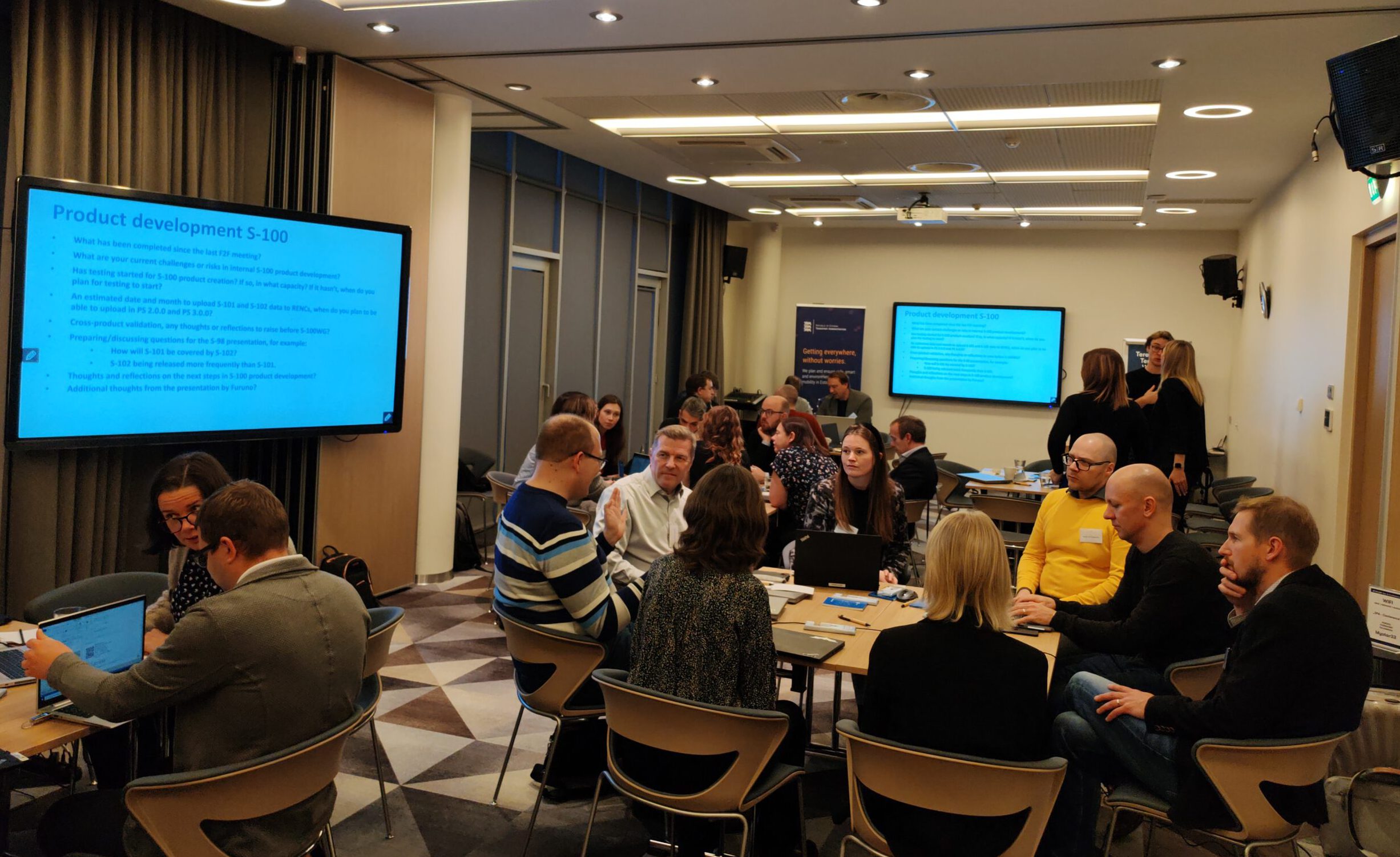
Research organizations play an important role by contributing expertise in piloting, supporting robust testing of developed products, and helping to capture end user experience as well as practical challenges encountered across the Baltic Sea region. “As piloting has been carried out across the entire Baltic Sea region, there has been a suitably diverse range of ports and port structures in terms of products and harmonization, as well as varying national needs and constraints,” notes project manager Antti Värre from Satakunta University of Applied Sciences.
In addition to technical collaboration, communication plays a key role in the rollout of the new S-100 navigation products and services. The project provides a great platform for broader outreach and engagement with stakeholders nationally and internationally. Through this cooperation, the message is extended to other regions through dissemination in the International Hydrographic Organization (IHO) working groups and the North Sea Hydrographic Commission.
From shared borders to the global stage
Cooperation takes place at two main scales: between neighbouring countries and across the Baltic Sea region as a whole. At national borders, the need for harmonization becomes particularly visible, requiring detailed coordination to ensure compatible navigational products and seamless view for navigation operations. At the regional scale, the focus shifts to broader development topics relevant to all participating countries. A key actor in this work is the Baltic Sea Hydrographic Commission (BSHC), whose activities have been strongly connected to the objectives of the project.
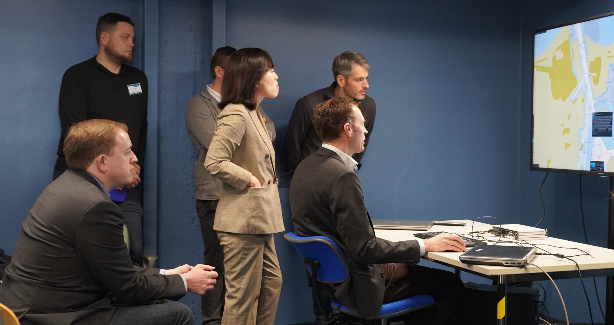
While most of the national authorities in the project are hydrographic offices, cooperation on S-104 Water Level Information for Surface Navigation and S-111 Surface Currents is led by the Finnish Meteorological Institute (FMI). “As part of the project we organized a workshop on S-104 and S-111 with participation from all invited Baltic Sea countries. The task of establishing common harmonization rules was assigned to the Working Group on Chart Datum, Water Level, and Currents (CDWCWG), a subsidiary working group under the BSHC,” says Oceanographer Anni Jokiniemi from the FMI.
Beyond the regional level, this cooperation contributes to the global development of guidance and recommendations through work carried out within the IHO and other frameworks. “The guidelines on S-100 based products produced through this cooperation carry significance well beyond the Baltic Sea region, offering a model for other regional hydrographic communities navigating the same transition. Our experience demonstrates that international cooperation is not just beneficial but essential for S-100 implementation to succeed”, comments Kim.
What happens after the project?
Projects play a vital role in bringing together expertise to address complex challenges. However, sustaining progress requires long-term structures and continued collaboration. The work at the BSHC will be continued and the outputs of the project updated and developed further to match emerging requirements of the S-100 framework.
The S-100 ecosystem is still evolving, with a second phase of navigation products and services set to be developed in the coming years. This will once again require cross-border cooperation, piloting and sharing of best practices. The positive experiences from the Baltic Sea e-Nav project provide a strong foundation for addressing future challenges together.

Additional links
details
-
Homepage
-
Project typeCore Project
-
ImplementationNovember 2023 - October 2026
-
StatusOngoing
-
Contribution to EUSBSRPolicy Area Safe, Policy Area Ship

-
Target groups
- International governmental organisation
- National public authority
-
Social media
-
Additional links
-
Tags