


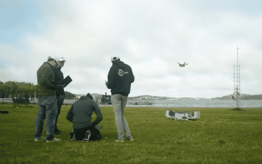
Places for Drones – Tool Helps Cities to Find Suitable Landing Sites
The drone industry is rapidly expanding; therefore, cities need to define acceptable and prohibited areas for drone usage. Consequently, cities must identify safe and suitable landing sites. A Geospatial Information System (GIS) tool has been developed to streamline...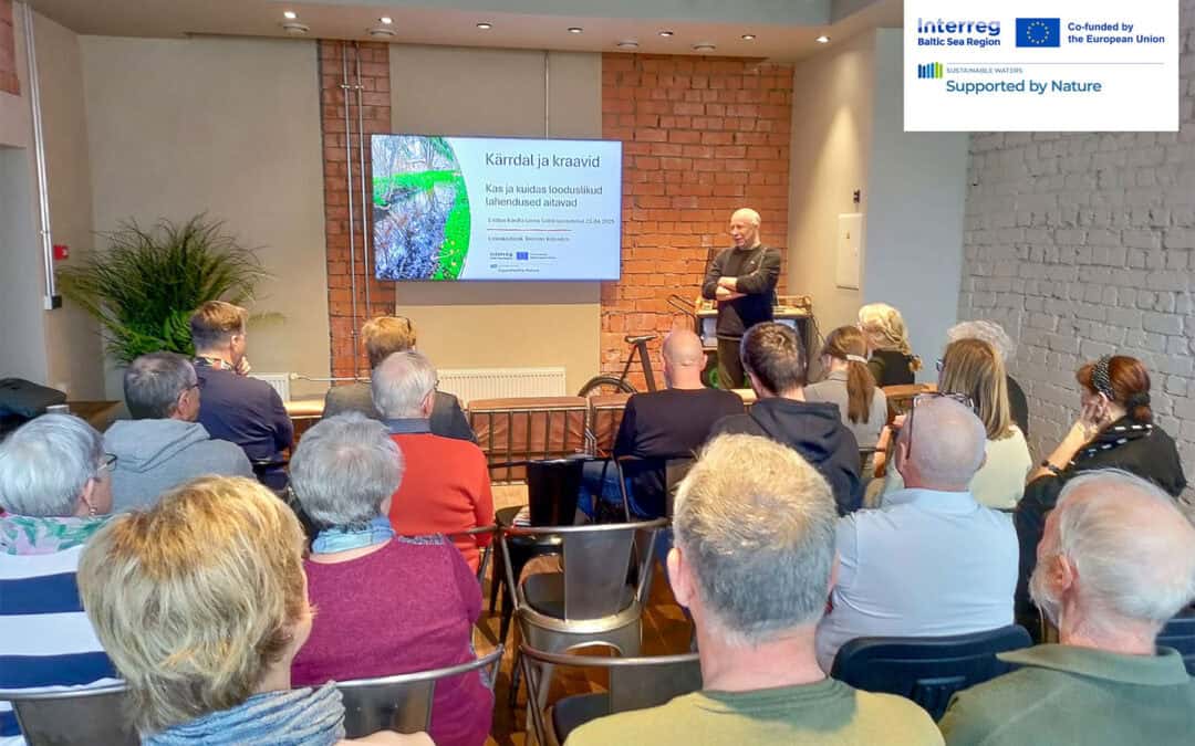
Meeting on Flooding and Ditch Systems in Kärdla
Image: Toomas Kokovkin gave a presentation introducing nature-based solutions for the catchment areas of the rivers running through the town. Photo: Reet Kokovkin Understanding Flood Risks Through Nature-Based Solutions At the brainstorming session on Kärdla’s...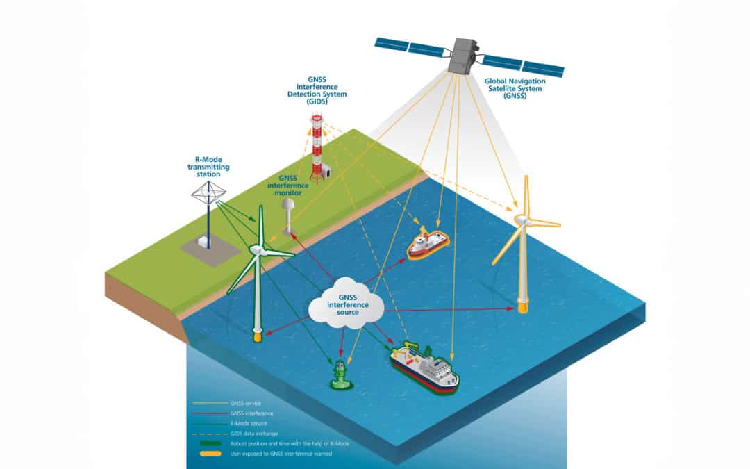
Important Step Towards R-Mode Standardization
In early 2025, a major milestone was reached for satellite-independent navigation: the International Organization for Marine Aids to Navigation (IALA) published a new guideline for R-Mode systems operating on medium wave (MF) frequencies. This development is...