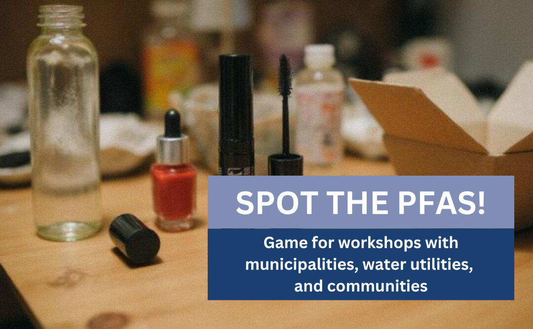
Spot the PFAS: easy and engaging boardgame!
Explore where PFAS are hidden in everyday life A simple and engaging game, “Spot the PFAS” helps players identify common PFAS sources, discuss essential vs. non-essential uses, and discover safer alternatives. This game is perfect for workshops with...
PestSpace at the IOBC-WPRS Conference in Avignon, France
LMBF is a Working Group of the International Organisation for Biological Control (IOBC), which promotes environmentally safe methods of pest and disease control in plant protection. She is a member of the West Palaearctic Regional Section (WPRS) of IOBC. The...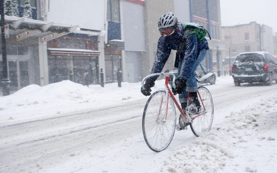
Gävle explores digital tools to promote and understand active commuting
The City of Gävle, Sweden, is contributing by testing two pilot activities focused on digital solutions. Through a digital cycling campaign and the use of a mobile application to collect mobility data, the city aims to gain new insights into commuting behavior and...