

The Sea2Land Navigator included in the ArcGIS Hub Gallery by Esri – the world’s largest GIS company
20 January 2026
The Sea2Land Navigator tool, developed within the Baltic Sea2Land project to support municipalities and coastal development planners in making data-driven decisions, has been included in the Esri ArcGIS Hub Gallery – the official platform that showcases solutions from around the world built on ArcGIS technologies.
Esri, the world’s largest geographic information systems (GIS) technology company, includes in this gallery only those tools that stand out for their high technical quality, usability and innovation. The inclusion of Sea2Land Navigator in this selection is an important international recognition for the project and for us as its developers. It is a space where users can explore global examples ranging from national data portals to platforms created by cities, NGOs and international organizations. Only those solutions that demonstrate strong data management, innovative use of GIS technologies and excellent user experience are featured in the gallery.
“We are proud that Sea2Land Navigator has been acknowledged internationally and included in the Esri Hub Gallery. This confirms our team’s competence and the quality of the tool, as well as showcases the Baltic Sea region’s ability to develop innovative digital solutions in the fields of climate and coastal planning,” emphasizes the lead partner of the Baltic Sea2Land project.
Being featured in the ArcGIS Hub Gallery (https://hub.arcgis.com/pages/gallery) allows The Sea2Land Navigator to reach a broader international audience and strengthens the Baltic Sea2Land project’s position as an innovation leader in the Northern European region.
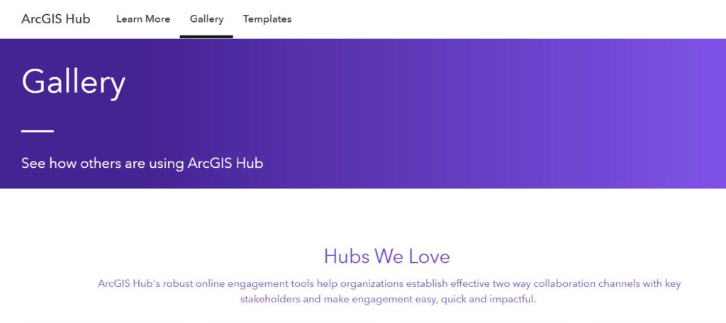
ArcGIS Hub is a platform that helps organizations share data, develop engagement solutions and enhance communication with the public. It is used by government institutions, municipalities and international projects to create accessible portals for data, maps and digital tools. The platform also enables other projects to see how ArcGIS Hub is applied in different contexts – from open data and interactive maps to thematic portals and collaboration initiatives. It serves as a repository of examples where users can gain inspiration and learn from best practices.

Additional links
details
-
Homepage
-
Project typeCore Project

-
ImplementationJanuary 2023 - December 2025
-
StatusCompleted
-
Contribution to EUSBSRPolicy Area Spatial Planning

-
Target groups
- International governmental organisation
- Local public authority
- National public authority
- NGO
- Regional public authority
-
Social media
-
Additional links
-
Tags