

Multi-Level Governance Tool workshop: content elaborations as a step closer to our key target: The Navigator!
27 October 2023
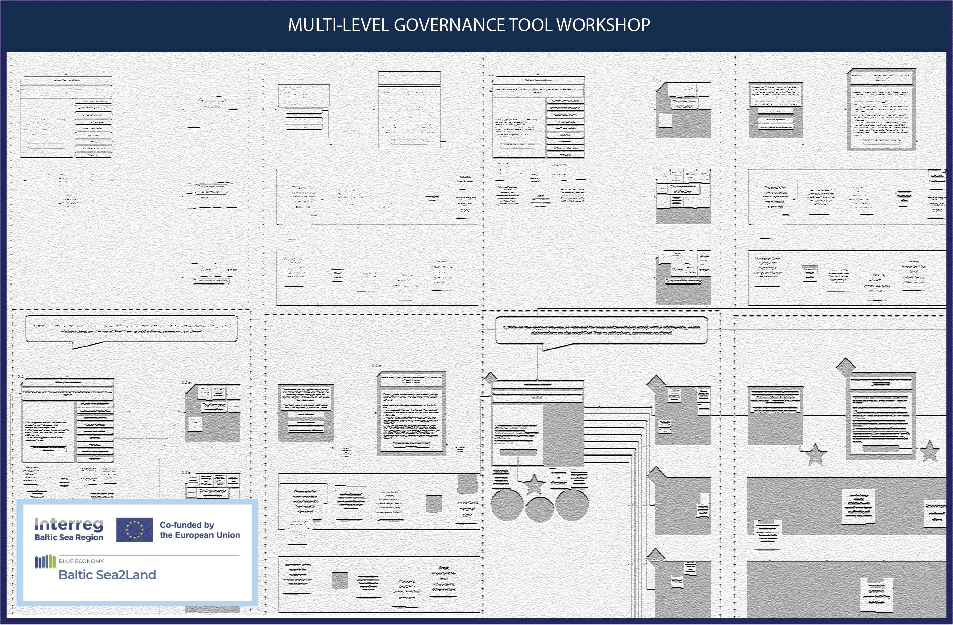
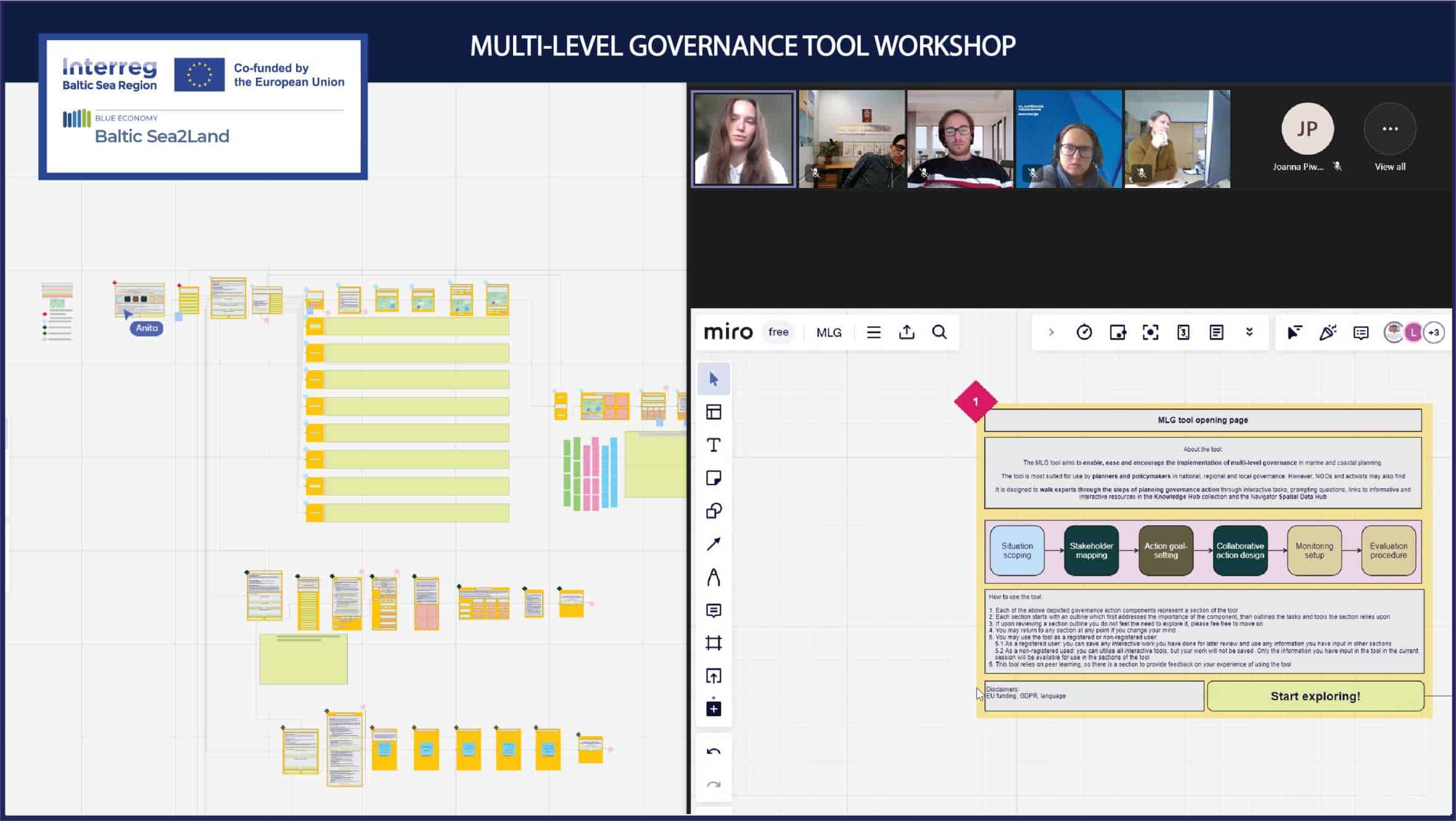
The Multi-Level Governance Tool (MLG Tool) is now in its 3rd phase of development, which means that the Multi-Level Governance Agenda (based upon the Interreg Baltic Sea Region #LandSeaAct project results) has been reviewed and analysed (1st phase), and the tool concept, general principles have been created based on additional research (2nd phase). The 3rd phase involves elaborating both the detailed content of the tool (all task instructions, definitions, questions) and the technical connections (buttons, where they each lead and where user input information is transformed). For this purpose, the workshop was organised in the middle of the 3rd phase as the elaborations are ongoing.
The aim of this workshop was to introduce all partners to the logic and tasks of the MLG Tool so they can follow the MLG Tool development on their own time live. The MLG Tool is available to partners for continued review on a shared Miro board. The objective of these interactions both during and after the workshop is to gather ideas from partners (topics to cover in addition to ones implemented, additional and alternative ways to execute tasks, how to streamline Tool language).
The workshop consisted of a developer walk-through in the MLG Tool schema with 3 interactive tasks and spontaneous discussions. However, all partners interested are able to continue giving feedback on the schema as they see it develop live!
Feedback received throughout the process is being integrated throughout the duration of the 3rd phase, once all elaborations are complete, the experience of this workshop and the final product will be used to create project wide training sessions that cover the entire MLG Tool and to implement the MLG Tool in ArcGIS.
These types of practices allow the Baltic Sea2Land project navigate its way closer to its key target: The Navigator tool itself! Are there any valuable data-decision experiences to share with us towards this goal? In that case, we are keen to hear from you!

Additional links
details
-
Homepage
-
Project typeCore Project

-
ImplementationJanuary 2023 - December 2025
-
StatusCompleted
-
Contribution to EUSBSRPolicy Area Spatial Planning

-
Target groups
- International governmental organisation
- Local public authority
- National public authority
- NGO
- Regional public authority
-
Social media
-
Additional links
-
Tags