

Stone Reef Restoration on Møn - Mads Rev (Denmark)
12 March 2026
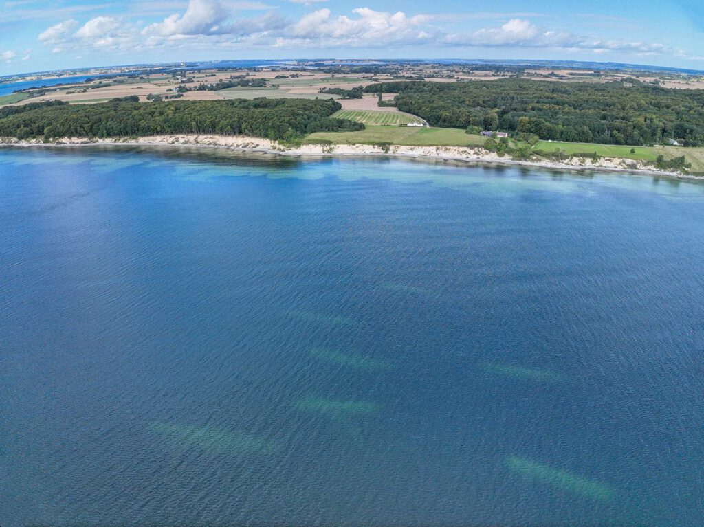 Stone piles that form Mads Reef off the island of Møn. Photo: Droner ApS
Key Focus
Rebuilding stone reefs for marine biodiversity.
Description
The pilot stone reef and learning site is located along the coastline of the southwestern part of the island Møn. Historically, this area featured natural stone reefs which were removed due to intensive stone-fishing activities. The lack of stone reefs has a huge negative impact on the marine biodiversity and we want to show how the rebuilding of stone reefs can restore some of the lost biodiversity.
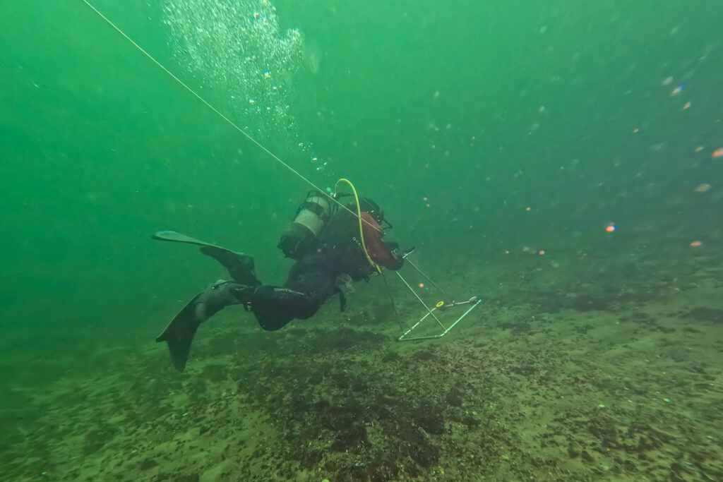
The initiative builds on strong local engagement, with contributions from Møns Sportsfiskerforening. The photo shows a diver monitoring the seabed. Photo: Vordingborg Municipality
Bringing the Sea Back to Life: Reef Restoration at Møn
A century ago, large quantities of stones were removed from Denmark’s coastal waters and used for construction. What was left behind was a poorer marine environment, stripped of the reefs that once supported rich biodiversity.
Now, at Møn, the story is changing.
The initiative builds on strong local engagement. In August 2023, Møn UNESCO Biosphere and Møns Sportsfiskerforening invited stakeholders to explore the idea of establishing a local reef association. Later that year, the association Møn Stenrev was formally founded, with a mission to improve the marine environment, water quality and biodiversity, particularly in the waters around Møn and South Zealand.
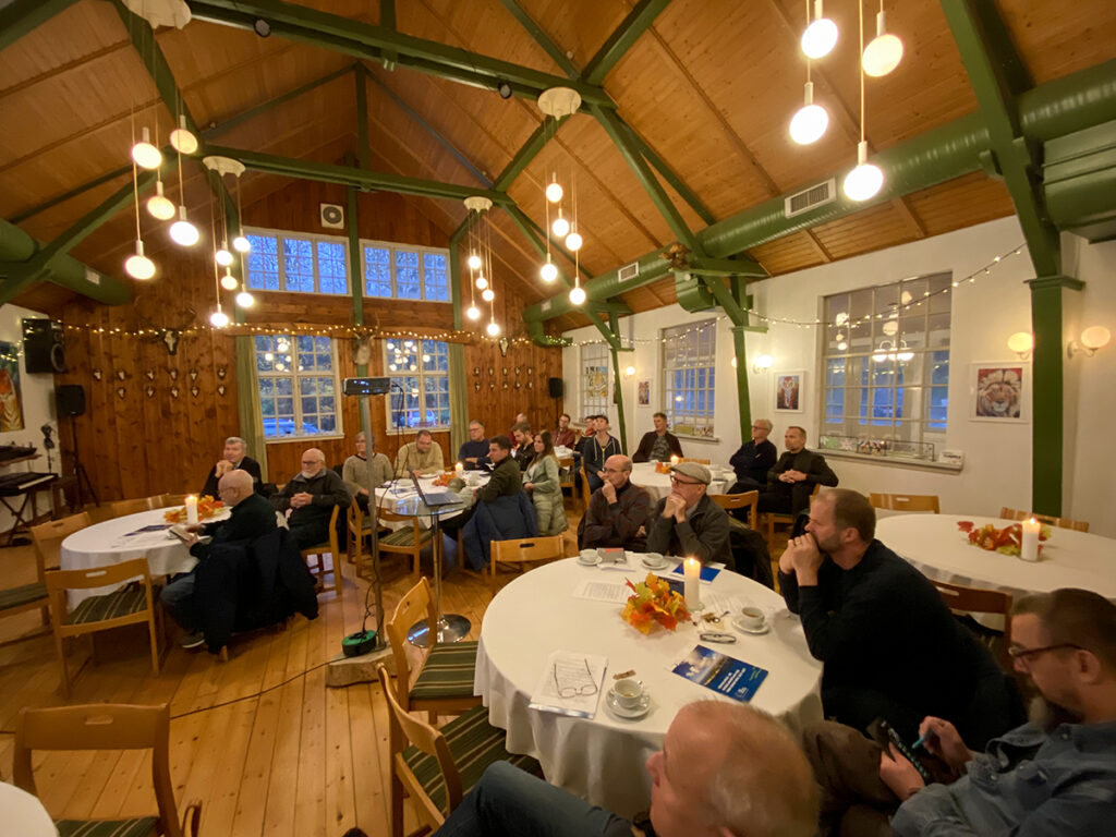 The value of early engagement is critical: stakeholders should be involved before key decisions are fixed. This was demonstrated on Møn, where local associations and residents were invited to an early information meeting about the Supported by Nature project and the idea of a stone reef association to coordinate local efforts. Photo: Vordingborg Municipality
South of Fanefjord Forest, stones have been returned to the sea to recreate a lost habitat. As part of the Supported by Nature project, partners from research, local associations and the community are working together to establish a pilot stone reef, now known as Mads Reef.
The project combines advanced digital analysis from Aarhus University with hands-on contributions from local divers, NGOs and citizens. It’s a true collaboration where science meets local engagement.
Local divers were trained by scientists at Åhus University in underwater monitoring methods, developed and built their own survey equipment, and ultimately provided documentation for permit applications. Photo: Vordingborg Municipality
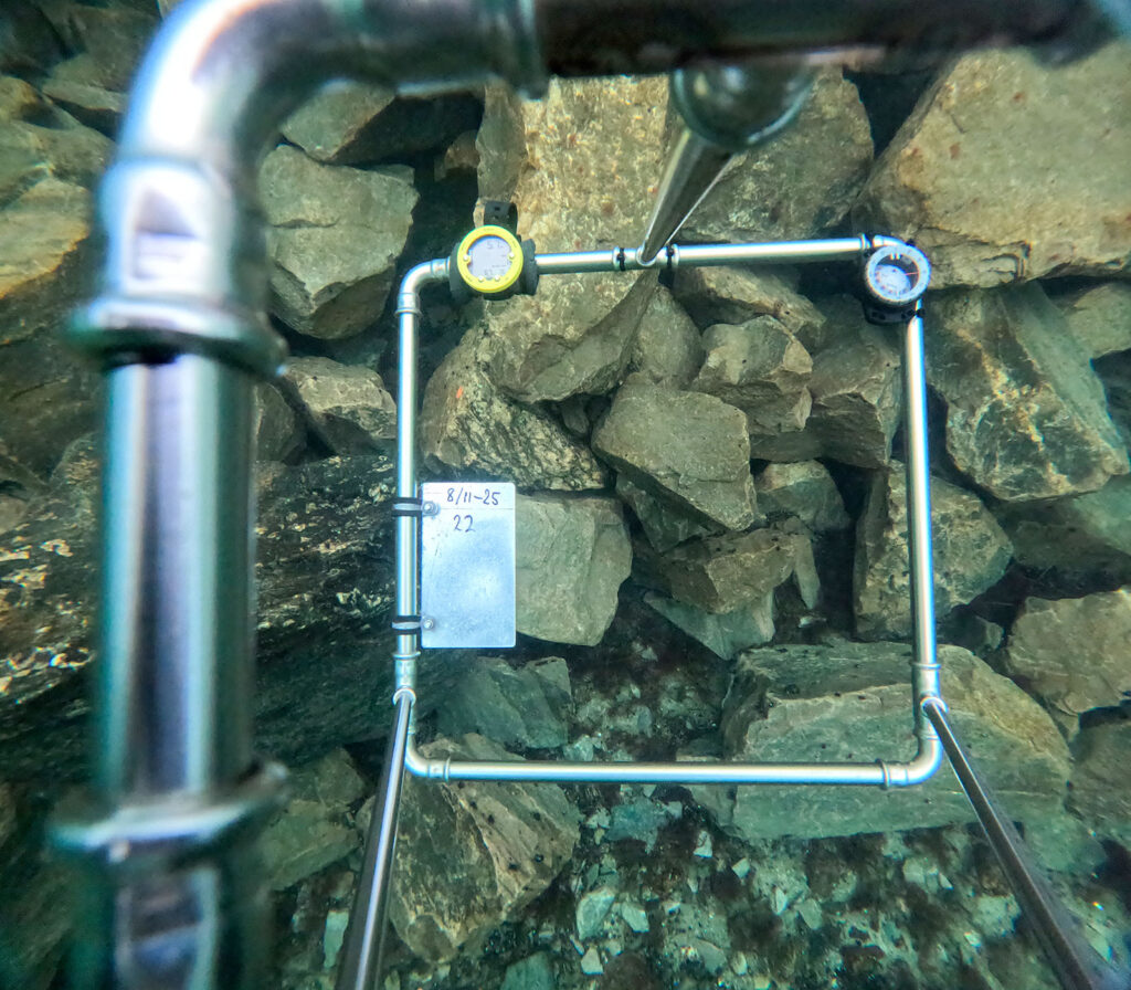
In the first phase, 7,312 m³ of stones—approximately 12,000 tons—have already been placed on the seabed, covering an area of about 500 x 500 meters. The reef is built from natural stones in varying sizes and layers, forming structures that create shelter and living space for marine life.
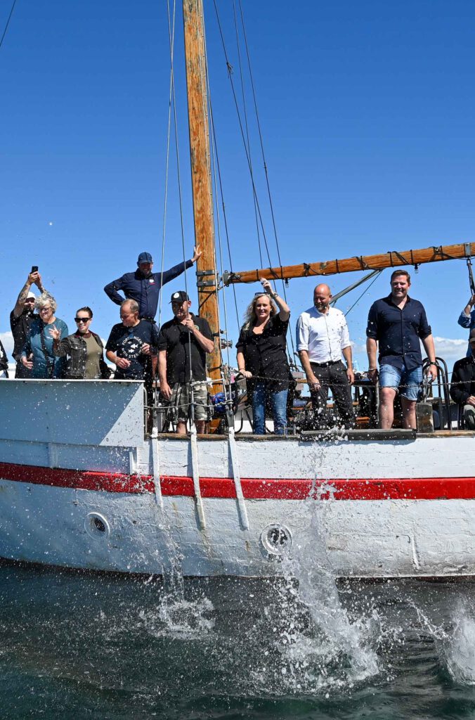
Opening ceremony of the reef. Photo: Vordingborg Municipality
Below the surface, change begins almost immediately. Algae settle on the stones, small fish seek shelter, and gradually a new ecosystem takes shape.
Mads Reef is more than a restoration effort, it’s a living learning site and a powerful example of how nature-based solutions can help rebuild biodiversity and strengthen coastal ecosystems.
To explore the stonereef in more detail, visit our partner Vordingborg Municipality’s website (in Danish).
Since the stone reef is relatively inaccessible, a learning site was established in a nearby harbour in cooperation with the harbour authority and the local water sports club. Here, so-called biohuts were installed to enhance biodiversity in the harbour environment, while also demonstrating the ecological function of the reef. This initiative generated strong local support and engagement, leading to a community-driven effort in which local businesses, residents and associations have sponsored additional biohuts. The water sports club is actively involved in educational activities and the production of information materials.
Overall, this has fostered a strong sense of community ownership around both the reef and the harbour initiative. It has also contributed to a broader shift within the municipality, where nature-based solutions are now higher on the agenda and increasingly recognised as important tools for addressing challenges across other parts of the municipality as well.
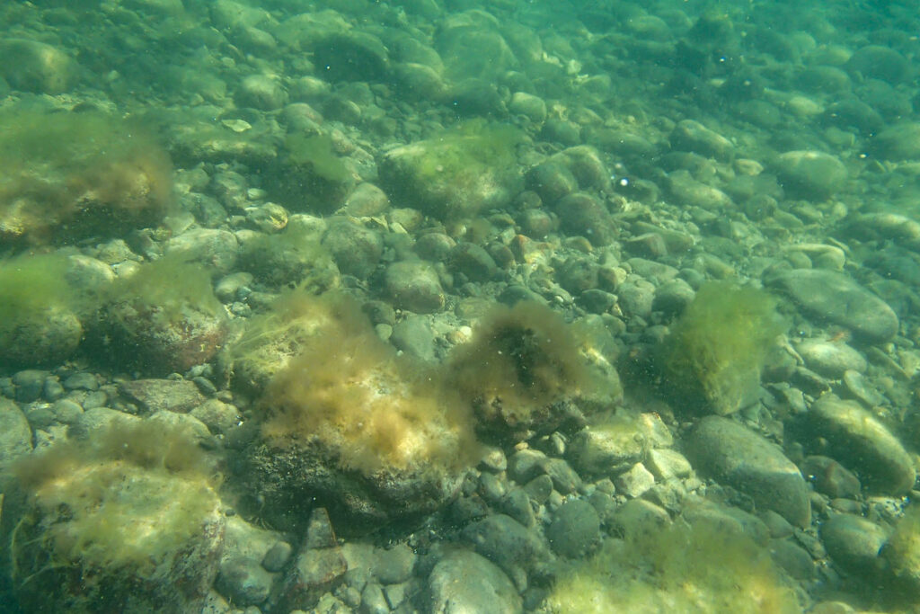
The seabed before the establishment of the stone reef. Photo: Vordingborg Municipality
Location
Coastline in the South/Western part of Møn.
Coordinates: 54.886737468050086, 12.2209998235071

Interactive map showing pilot locations. Use the arrow keys to move the map view and the zoom controls to zoom in or out. Press the Tab key to navigate between markers. Press Enter or click a marker to view pilot project details.
Additional links
details
-
Homepage
-
Project typeCore Project

-
ImplementationNovember 2023 - October 2026
-
StatusOngoing
-
Contribution to EUSBSRPolicy Area Nutri

-
Target groups
- Higher education and research institution
- Interest group
- Local public authority
-
Social media
-
Additional links
-
Tags