07 November 2023
How Interreg pushed maritime spatial planning
#25yearsIBSR
Written by Elena Kolosova
The countries around the Baltic Sea have been working together in order to plan the use of the Sea space and its resources in a sustainable way. Through transnational cooperation, they have made the most out of their capacities and skills to make the Baltic Sea region an area of excellence in maritime spatial planning. We take a look back at 25 years of Interreg Baltic Sea Region cooperation in this field.
Our common Baltic Sea
Long before the EU Maritime Spatial Planning (MSP) Directive was adopted in 2014, the countries around the Baltic Sea worked together in Interreg projects to plan how to use sea and coastal resources in a sustainable way.
Tiina Tihlman, Monitoring Committee member from Finland, Ministry of the Environment
“Thanks to the Programme, we have been able to finance quite many maritime projects. Without the Programme, we wouldn’t know so much about other countries.
For example, we wouldn’t know so many people in other countries who are working in maritime spatial planning or we would only meet our colleagues in meetings. This is even impossible to imagine. There are so many people working with maritime spatial planning issues nowadays. We are really experienced now. This is because we have our common Baltic Sea and we have the Interreg Baltic Sea Region Programme which can finance our projects. The EU Commission is highlighting that we are an area of excellence in maritime spatial planning. We serve as an example for others.”
Kick-starting maritime spatial planning
In 2002-2005, Interreg project partners showcased how spatial planning could help solve local conflicts between economic activities and nature protection along the Baltic coast in Germany, Sweden, and Finland. The partners developed recommendations that prompted more systematic work by national spatial planners in the Baltic Sea region. A few years later, in 2009-2014, new projects helped kick-start formal MSP processes in the BSR countries.
Jens Kurnol, Monitoring Committee member from Germany, Federal Institute for Research on Building, Urban Affairs and Spatial Development:
“The most important is Interreg Baltic Sea Region support to the completely new sector: maritime spatial planning. Even though countries from 2014 on were obliged to develop their plans, the Programme – via the BaltSeaPlan project – gave an absolutely crucial push forward. It enabled the Member States to exchange and develop their maritime spatial plans. Without Interreg, it would probably have taken us ten more years. And after all those years, I still have a comic booklet created by BaltSeaPlan on “How to become a maritime spatialist in 10 min”. Even today, it’s still valuable and I show it to everyone who wants to learn about maritime spatial planning.”
Engaging users of the Baltic Sea
Later in 2016-2022, project partners worked together to increase the coherence of maritime spatial plans across the Baltic Sea sub-basins. They helped coordinate the development of shipping routes and energy infrastructure, integrate maritime cultural heritage into MSP, and allocate space for aquaculture and algae cultivation. The partners worked with groups of stakeholders across various sectors to develop solutions that considered the actual needs of the different sectors when using the Baltic Sea and its coasts.
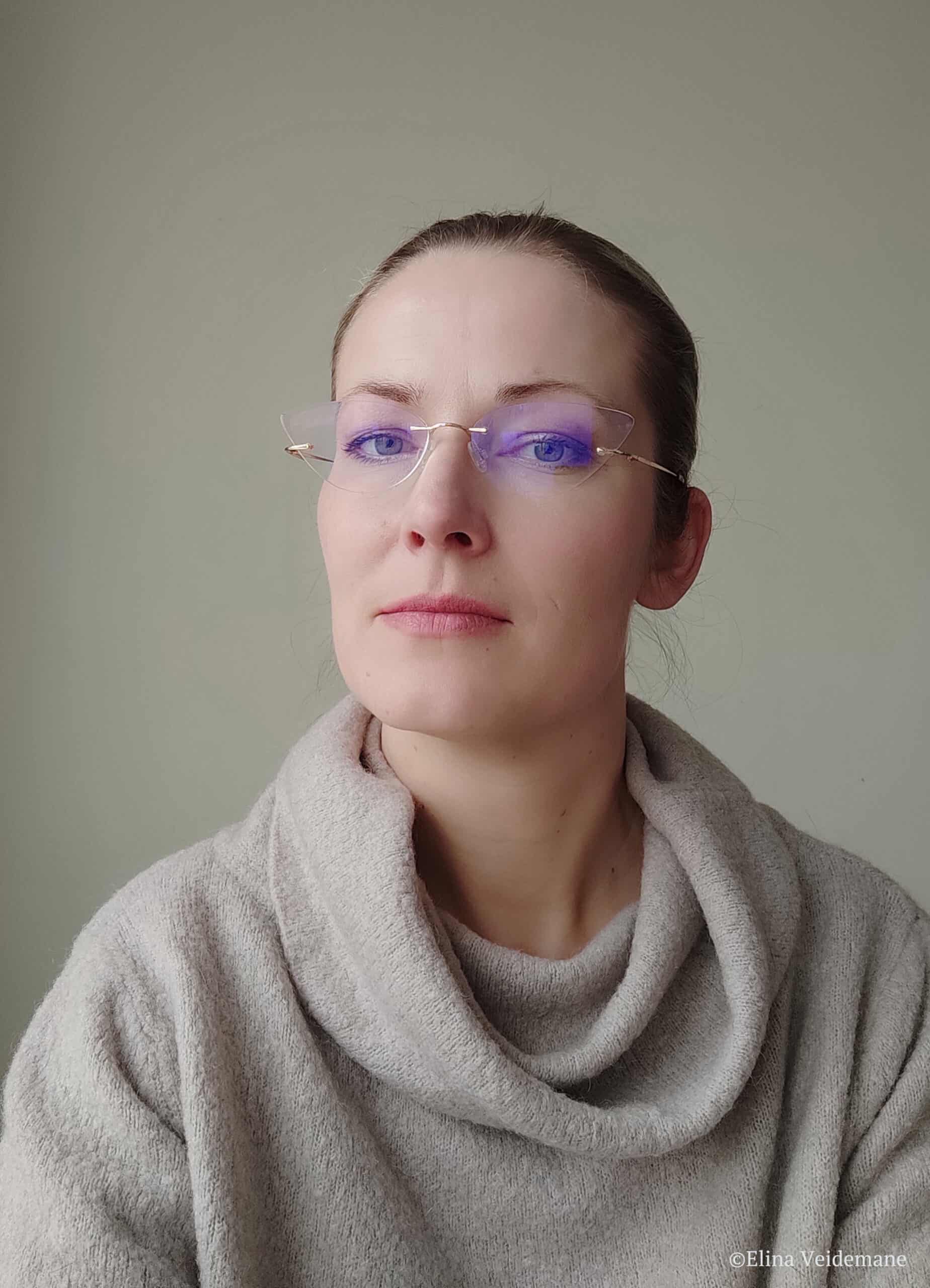
Elīna Veidemane, Deputy Head of VASAB Secretariat and the coordinator of the policy area Spatial Planning of the EU Strategy for the Baltic Sea Region
“When there were first discussions about potential areas for wind parks in the Baltic Sea, we experienced strong resistance from fishermen and the shipping industry who treated the sea as “theirs”.
Interreg projects helped actively engage these groups, demonstrate the benefit of working together, and even build synergies. The projects allowed for a more comprehensive point of view; they opened up the planning processes to other sectors who have not been there before. Learning from such experiences in other countries is valuable in itself, too, and helps to bring a common understanding. The project Baltic LINes particularly looked at how the energy sector could be linked to shipping. I would also mention Land-Sea-Act project which addressed the coastal management and planning in the context of maritime spatial planning, as coastal areas are crucial for coherence between the sea and land. And then there was a project BalticRIM, which was about integrating maritime cultural heritage into maritime spatial planning.”
Shaping the future of maritime spatial planning
Interreg project partners were instrumental in shaping the Regional Maritime Spatial Planning Roadmap 2021-2030 adopted by pan-Baltic organisations HELCOM and VASAB. The Roadmap sets the future agenda for the MSP in the region.
Elīna Veidemane, Deputy Head of VASAB Secretariat and the coordinator of the policy area Spatial Planning of the EU Strategy for the Baltic Sea Region
“The Capacity4MSP platform looked at all projects dealing with maritime spatial planning or maritime management in the Programme and beyond. It is very valuable when you can analyse the projects in such a comprehensive way. Without Interreg, the level of common knowledge would be different: Interreg projects helped to amplify and exchange knowledge, and share it. And this is particularly important for spatial planning because the better knowledge you have, the better planning solutions you gain.”
#25yearsIBSR
This year, our Interreg Baltic Sea Region Programme is celebrating its 25th anniversary. For more examples of #MadeWithIBSR project results and testimonials of great people who have helped shape the regions with us, visit our birthday celebrations page!
Want to know more about the projects that have been supporting countries and regions in advancing maritime spatial planning? Flip through the project examples below:
More recent news
Climate-neutral future at hand for Baltic Sea region cities
Turning a city into a climate-neutral one requires knowledgeable people, thorough planning and solid financial resources. But how can cities manage this transition smoothly? The Interreg project Climate-4-Case guides cities around the Baltic Sea on how to do that right.
Designing Interreg Baltic Sea Region that belongs to everyone
10 December 2025 Designing Interreg Baltic Sea Region that belongs to everyone Written by Eeva Rantama What if the next Interreg Baltic Sea Region...
Monitoring the Programme’s progress: transnational cooperation in the making
Representatives from nine Programme area countries gathered in Berlin on 19-20 November 2025 to review the progress of the Programme’s implementation and start preparing for the post-2027 period.
Beyond Borders: Turning Interreg Results into Policy Action
At this year’s EUSBSR Annual Forum in Sopot, the session “Beyond Borders: Interreg Results in Action for a Resilient and Safe Baltic Sea Region” showcased how Interreg Baltic Sea Region projects are transforming challenges into policy-relevant results that strengthen resilience, safety, and cooperation across the region. The session brought together project partners, EUSBSR policy area coordinators, members of the Programme Monitoring Committee and young participants to explore what it takes to turn project outcomes into lasting policy impact.


