

Fields, Water, Thirst for Knowledge - The Nadelitz Learning Site (Germany)
05 March 2026
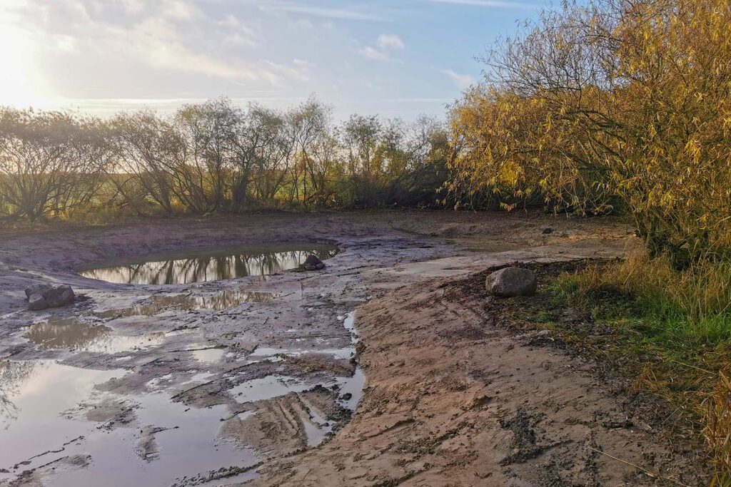
The wetland after dredging. Photo: Southeast Rügen Biosphere Reserve
Key Focus
Accessible educational site with wetland restoration.
Description
The Nadelitz learning Site is located on the outskirts of the village, nestled within a characteristic agricultural landscape. To the north, the area borders an agricultural hall, while the southern and eastern sides are surrounded by active arable land. A paved path to the west connects the village of Nadelitz with Muglitz.
The site features a wide, open water surface framed by a natural border of willow trees. Designed with varying water depths, the wetland provides a specialized habitat for amphibians and diverse aquatic life. Utilizing the natural slope of the surrounding fields, this former depression now functions as a vital ecological buffer and a hands-on educational space where the synergy between farming and nature conservation becomes visible.
Location
Nadelitz Village, near agricultural land.
Coordinates: 54.35484, 13.54607
Partner
Southeast Rügen Biosphere Reserve Administration
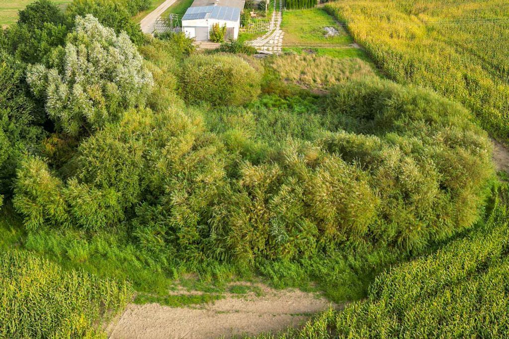
The wetland project area before the measures. Photo: Nico Offermann

Interactive map showing pilot locations. Use the arrow keys to move the map view and the zoom controls to zoom in or out. Press the Tab key to navigate between markers. Press Enter or click a marker to view pilot project details.
Additional links
details
-
Homepage
-
Project typeCore Project

-
ImplementationNovember 2023 - October 2026
-
StatusOngoing
-
Contribution to EUSBSRPolicy Area Nutri

-
Target groups
- Higher education and research institution
- Interest group
- Local public authority
-
Social media
-
Additional links
-
Tags