

Specialists are introduced to the Sea2LandNavigator platform for maritime and coastal planning in two workshops in Latvia
14 August 2025
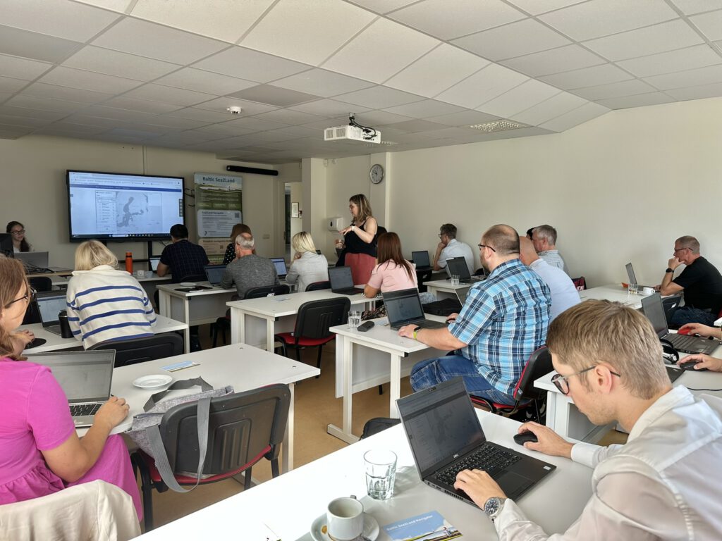
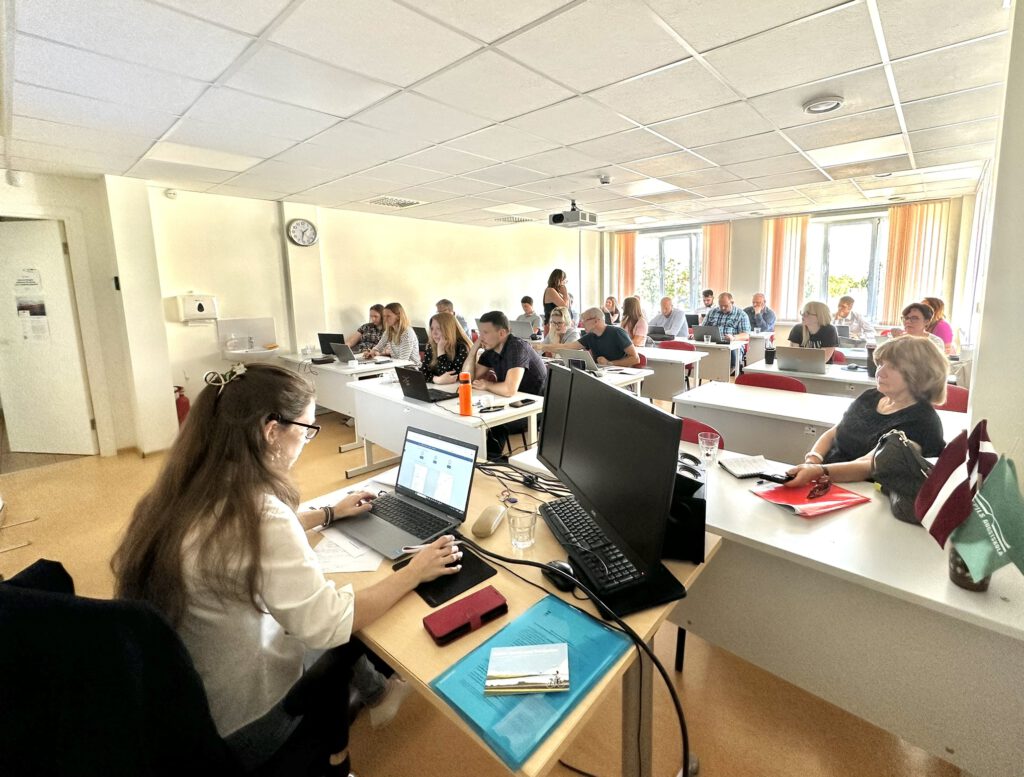
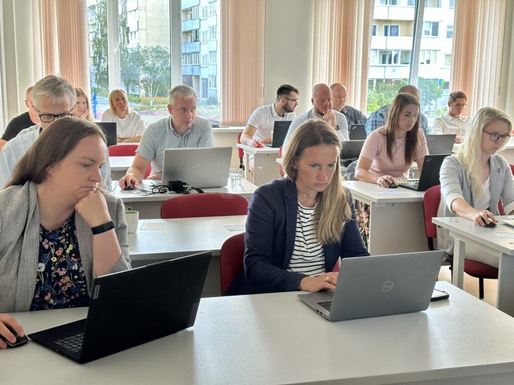
At the end of the summer, the Project and Research Division of the Spatial Planning and Land Management Department of the Ministry of Environmental Protection and Regional Development of Latvia organized two workshops – on 6 August in Salacgrīva and on 13 August in Ventspils – to bring together coastal municipality specialists, spatial planners and experts, as well as industry representatives whose daily work is related to maritime and coastal issues.
The ministry is implementing the Interreg project “Baltic Sea2Land” on promoting integrated management in coastal areas through the sustainable use of natural and human capital, which includes the development of a support platform for the marine and coastal planning process, “Sea2Land Navigator”. It should be noted that the ministry is responsible for maritime spatial planning policy at the national level, and work has now begun on maritime planning for Latvia’s internal marine waters, territorial sea and exclusive economic zone waters until 2030 (hereinafter referred to as the Maritime Spatial Plan amendments), which also affects coastal planning.
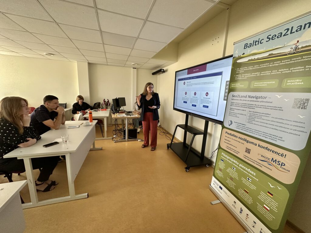
In order to promote collaboration in planning and actively involve as wide a range of specialists as possible in the process of developing amendments to the Maritime Spatial Plan, the ministry invited specialists for two workshops to get hands-on experience with the Sea2Land Navigator platform and test its functionality, while also gathering opinions and suggestions that will be useful in developing amendments to the Maritime Spatial Plan.
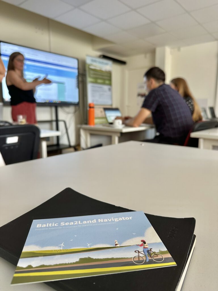
The workshop highlighted the complexity of coastal and marine spatial planning, which is related to the overlap of different levels of legislation, diverse land and sea use, and the need to involve a wide range of stakeholders. The Sea2Land Navigator platform offers practical steps and structured guidance to help planners navigate this complex environment.
Both workshops provided valuable feedback on the usability of the platform and identified areas for improvement, such as the need for a mobile version, more accurate translations of terms, and the creation of simple video material on how to use the new tool step by step. Although working with the tool is time-consuming, experts generally rated it positively. Those present recommended using Sea2Land Navigator as a public participation tool in various public consultations.
The Sea2Land Navigator tool is available here.
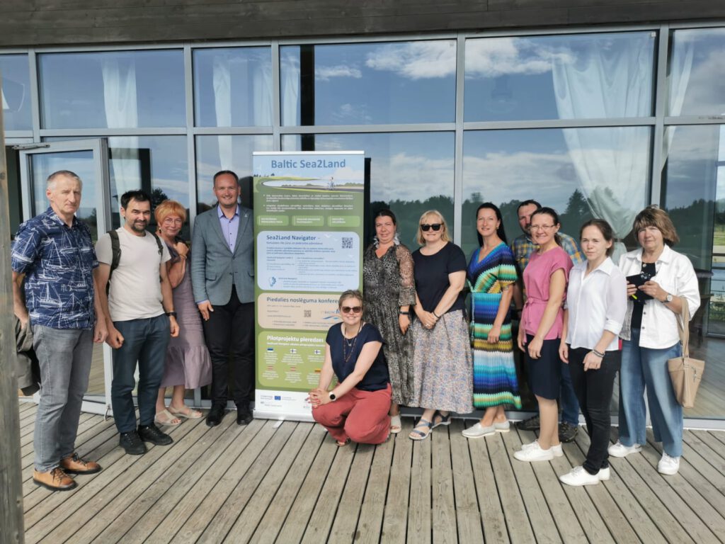
The seminars were funded by the Ministry of Environmental Protection and Regional Development as part of the Interreg Baltic Sea Region Transnational Cooperation Program 2021–2027 project “Promoting Integrated Coastal Management through Sustainable Use of Natural and Social Capital (Baltic Sea2Land).”

Additional links
details
-
Homepage
-
Project typeCore Project

-
ImplementationJanuary 2023 - December 2025
-
StatusCompleted
-
Contribution to EUSBSRPolicy Area Spatial Planning

-
Target groups
- International governmental organisation
- Local public authority
- National public authority
- NGO
- Regional public authority
-
Social media
-
Additional links
-
Tags