The BalMarGrav project at the Nordic Geodetic Commission Science Week (Reykjavik, Iceland)
27 March 2024
On 12-14 March 2024, Project Partners of the BalMarGrav project participated in a conference entitled “Nordic Geodetic Commission Science Week”, as well as in working group meetings of the Nordic Geodetic Commission. The event was organised in Reykjavik by the National Land Survey of Iceland.
Four presentations related to the BalMarGrav were delivered during the event:
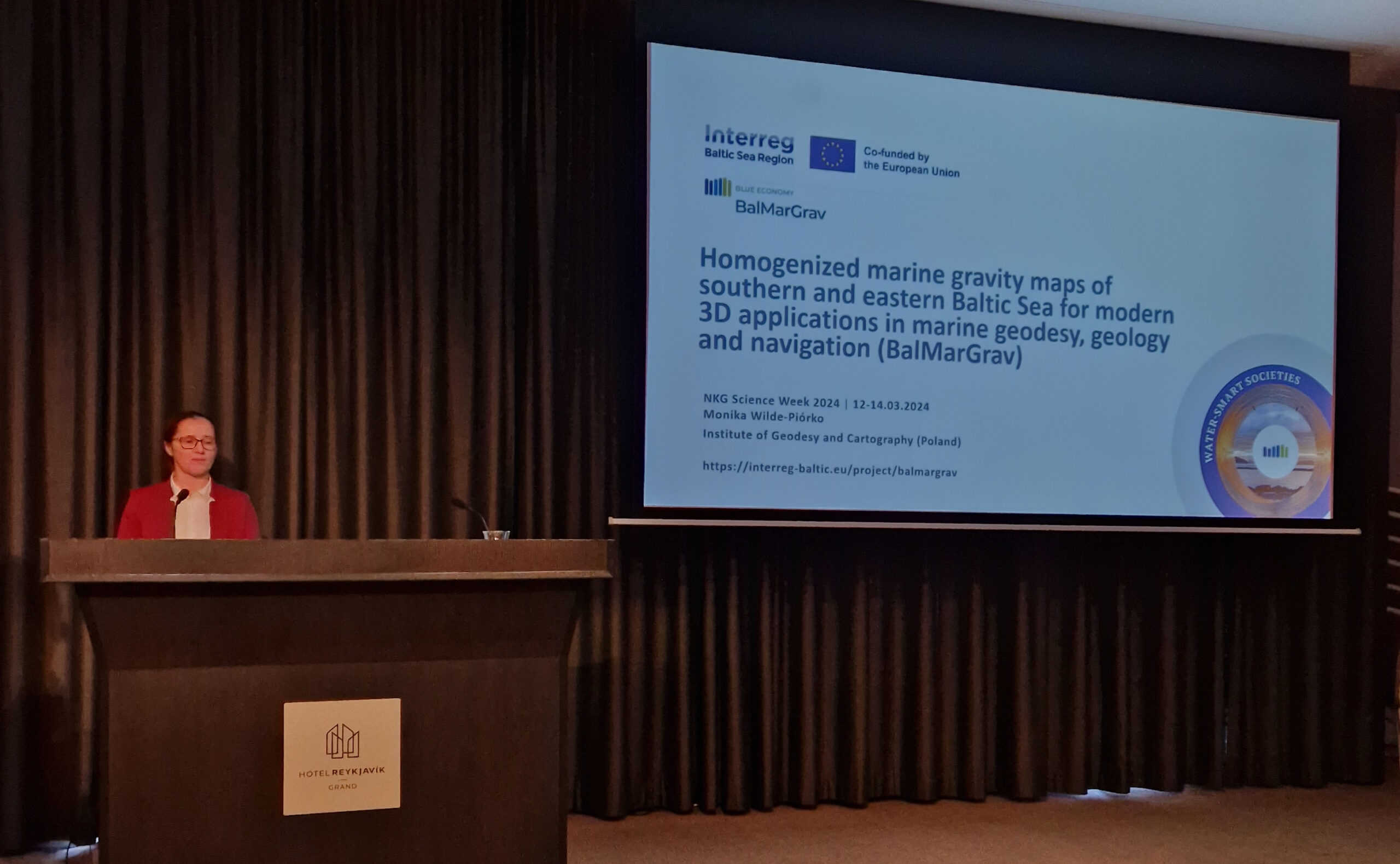
- “Homogenised marine gravity maps of southern and eastern Baltic Sea for modern 3D applications in marine geodesy, geology and navigation (BalMarGrav)” by Monika Wilde-Piórko (IGiK, Poland);
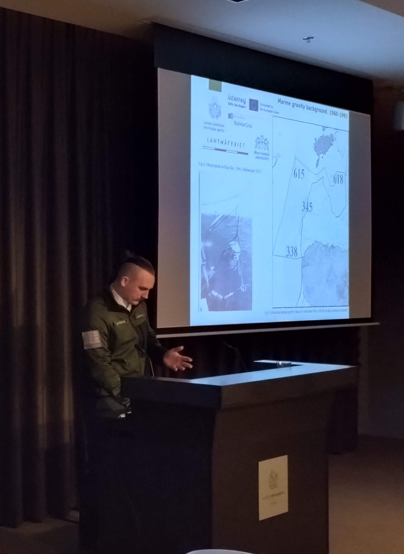
- “Relative gravity in Latvia 2022-2023” by Vents Zuševics (LGIA, Latvia);
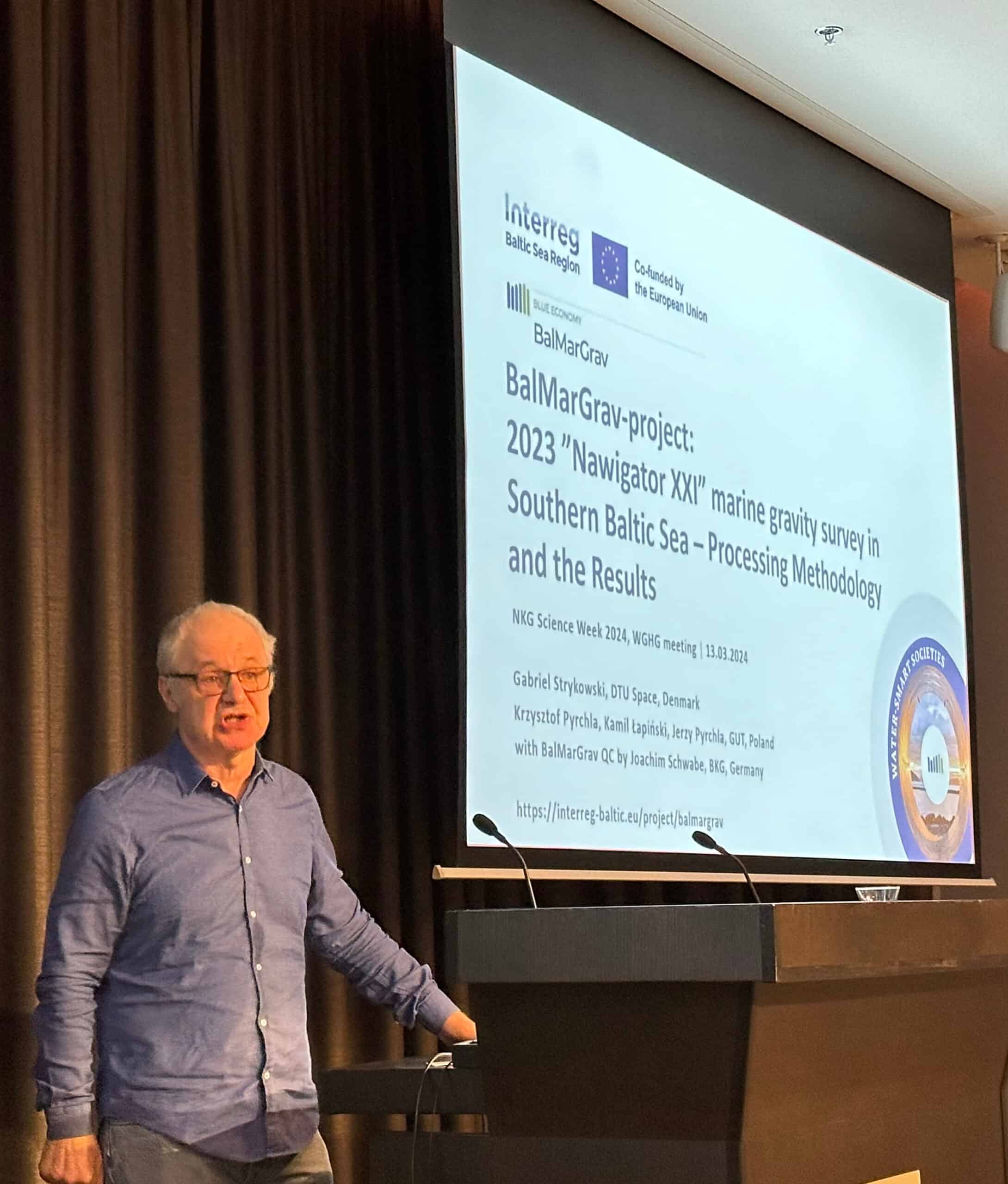
- “BalMarGrav project: 2023 “Nawigator XXI” marine gravity survey in Southern Baltic Sea – Processing Methodology and Results” by Gabriel Strykowski (DTU Space, Denmark);
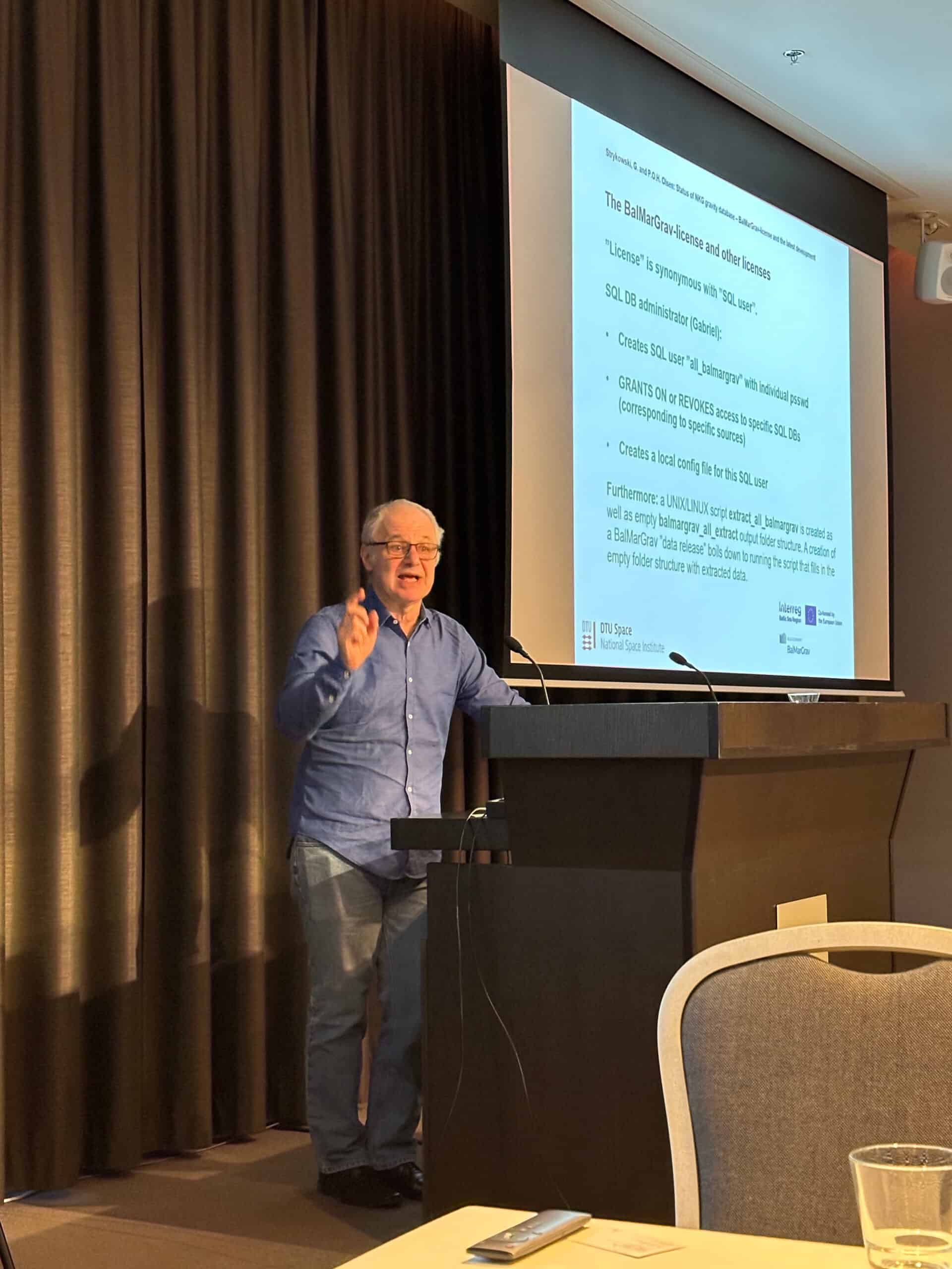
- “Status of NKG gravity database: BalMarGrav-licence and the latest development” by Gabriel Strykowski (DTU Space, Denmark).
This event was an opportunity to present the latest project’s achievements to members of the Nordic Geodetic Commission, which is one of the target group in the project, as well as to discuss the possibility of obtaining further funding to conduct gravimetric surveys in the Baltic Sea.
